Utility Asset Mapping
Accurate digitisation of electric distribution and transmission networks, from poles and conductors to transformers and switchgear.
Learn moreGIS & Geospatial Engineering
Your Extended GIS Engineering Team.
Powering smarter utilities, connected infrastructure and geospatial operations through precision GIS engineering and scalable offshore delivery.
512M
Assets Mapped
98.4%
Network Coverage
99.7%
QA Pass Rate
Data streams integrated
Our Impact in Numbers
Years of geospatial engineering experience
Projects Delivered
Utility assets mapped and attributed
GIS engineers, Analysts and QA specialists
Our Capabilities
From raw field data to production-ready GIS, Last Peak delivers the full geospatial pipeline as a seamless extension of your in-house team.
Accurate digitisation of electric distribution and transmission networks, from poles and conductors to transformers and switchgear.
Learn moreLegacy migration, CAD-to-GIS conversion, schema mapping and data enrichment while preserving full attribution integrity.
Learn moreEnterprise geodatabase design, data hygiene, topology validation and ongoing quality assurance for critical asset data.
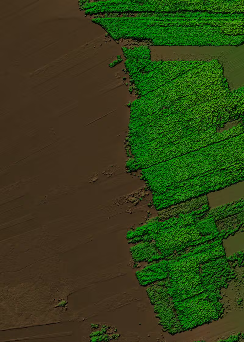
Learn morePoint-cloud classification, feature extraction and orthophoto processing from aerial and drone survey datasets.
Learn moreCustom GIS applications, dashboards and integrations built on modern web mapping and cloud geospatial platforms.
Learn moreMobile collection workflows, QC of field capture and back-office processing that keeps survey programmes on schedule.
Learn moreIndustries We Serve
We work as a specialist production partner for utilities, consultancies and infrastructure owners who depend on accurate, standards-compliant spatial data.
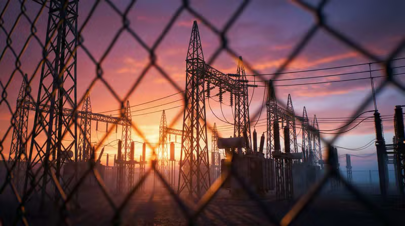
Distribution & transmission asset mapping
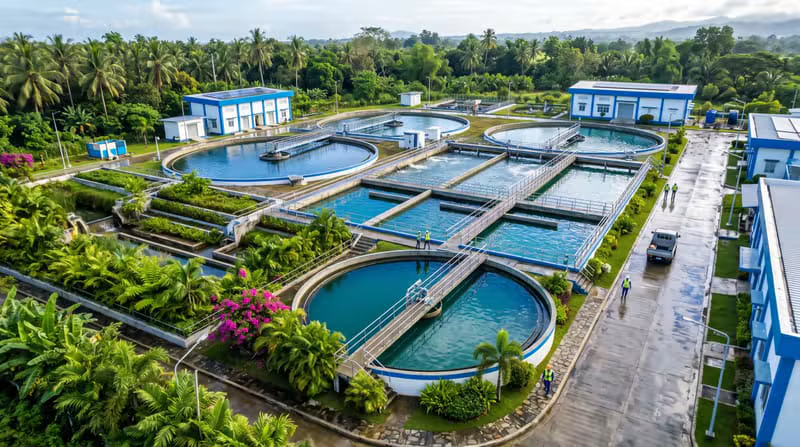
Network inventory & hydraulic base data
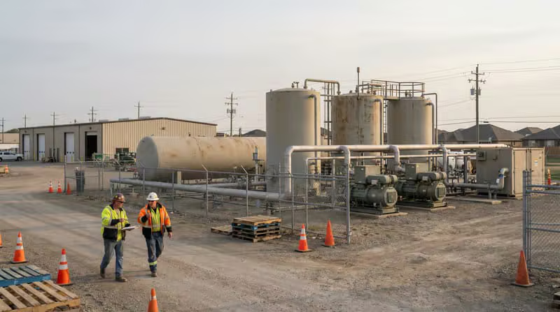
Mains, services & regulatory reporting
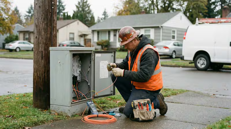
Route, splice & OSP documentation

Corridor, sign & pavement asset inventories

Digital twins & 3D base mapping
Why Last Peak
Last Peak combines deep geospatial experience with the delivery efficiency of a dedicated India-based operations team — giving you capacity without compromising standards.
A named team assigned to your account, trained on your standards, tools and workflows.
Checklist-driven QA with accuracy reporting, so every batch is verifiable before delivery.
Working hours aligned to US and Canadian business days for real-time collaboration.
NDA-bound teams, secure environments and controlled access to your datasets.
Enterprise-grade output at a fraction of local production cost, without cutting corners.
Projects delivered across four continents, in multiple standards and coordinate systems.
Engagement Model
We start small, prove quality and scale deliberately — so you gain capacity without adding risk.
01
We review your data sources, standards and delivery requirements, then define scope, effort and quality gates.
02
A small pilot validates accuracy, turnaround and communication before any long-term commitment.
03
A dedicated GIS pod is assembled with the exact skills, tools and timezone overlap your project needs.
04
Work is produced at scale through a structured QA pipeline with checklist-driven accuracy control.
05
As volumes grow, we expand the team and absorb new data streams, standards and geographies.
Featured Projects
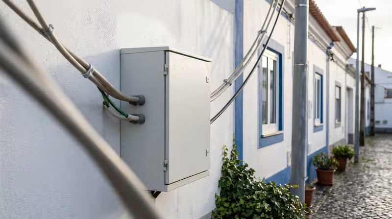
Digitised overhead and underground distribution network assets — poles, conductors, transformers and switches — into a connected, attributed GIS model.

Converted legacy network records and scanned drawings into a clean, georeferenced geodatabase with full connectivity and consistent attribution.

Produced construction-ready electrical utility layouts and as-built drawings aligned to client CAD standards and the underlying GIS data model.
Let’s Talk
Tell us about your project, data volumes and timelines. Our delivery team will respond within one business day with a clear scope and engagement plan.